Park 16
English name: Victoria Park
Kaurna name: Pakapakanthi (meaning "to trot")
Features:
in the northern part: historic buildings related to more than 160 years of horse racing;
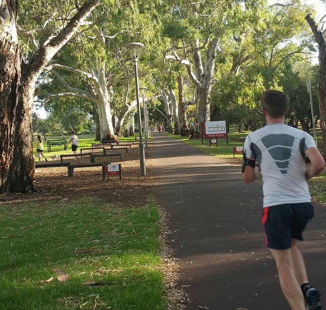
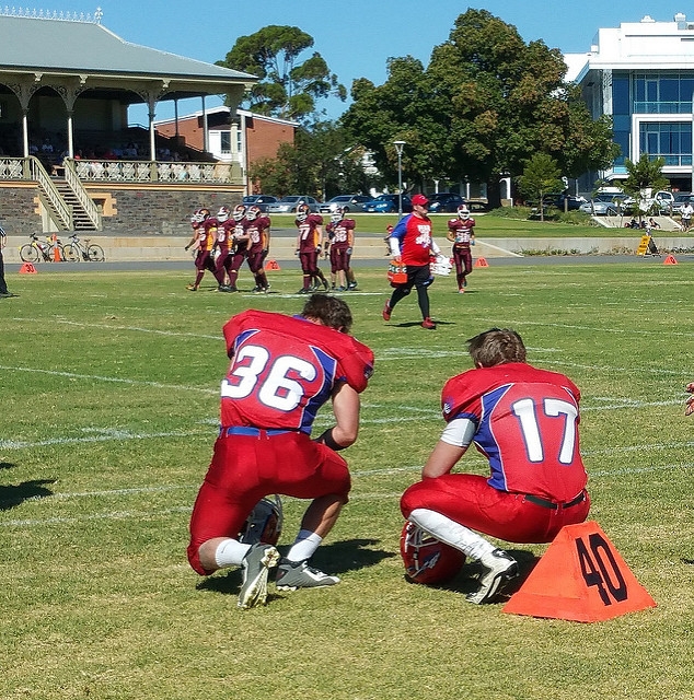
in the central part: sporting fields, and
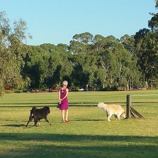
in the southern part: expansive wetlands, South Park Lands creek, and open woodland revegetation.
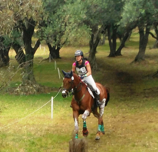
This Park also plays a central role in two major annual events: the Adelaide 500 motor racing carnival, and the international equestrian three-day event.
Bounded by: Wakefield Road, Fullarton Road, Greenhill Road and Beaumont Road.

Victoria Park / Pakapakanthi (Park 16)

Tap or click on this image to take a Guided Walk, through the SOUTHERN half of the Park using our Trail Guide. The trail starts at the corner of East Terrace and Halifax Street.
Length: 3.25 km. Duration: Allow two hours.

Tap or click on this image to take a Guided Walk through the NORTHERN half of the Park using our Trail Guide. The trail starts at the same place, the corner of East Terrace and Halifax Street. It takes about 90 minutes to complete.
Victoria Park’s history and development is linked to the horse racing and motor racing events which have dominated its use.
This Park retains its shape and form as originally laid out by Colonel William Light in 1837. Covering 72 hectares, it represents about 10% of the entire Adelaide Park Lands , the largest single Park within them.
Related links: