Park 28
Video credits: Script: Sophie Yelland. Narrator: Marion Yelland
English name: Palmer Gardens
Kaurna name: Pangki Pangki (a Kaurna tracker and guide who assisted early European settlers)
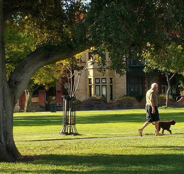
Features: wide axial pedestrian pathway (from the 1860's) connecting Kermode St to the Christ Church laneway; a massive sugar gum tree, probably dating from the 1870's or 80's; and cast iron bollards dating from 1922.
Bounded by: Palmer Place
Palmer Gardens / Pangki Pangki (Park 28)
Trail Guide to Parks 28 & 29
Take your own self-guided walk at any time, using our Trail Guide to Parks 28 and 29. Click or tap on the image below.
The Trail starts at the top of the hill, on the corner of O’Connell Street and Brougham Place.
The Trail is about 2 km. Allow 90 minutes.
Park 28 was named after South Australian Colonisation Commissioner Colonel George Palmer (1799-1883). The Mid-Murray town of Palmer, just east of the Adelaide Hills region, is also named after the Colonel.
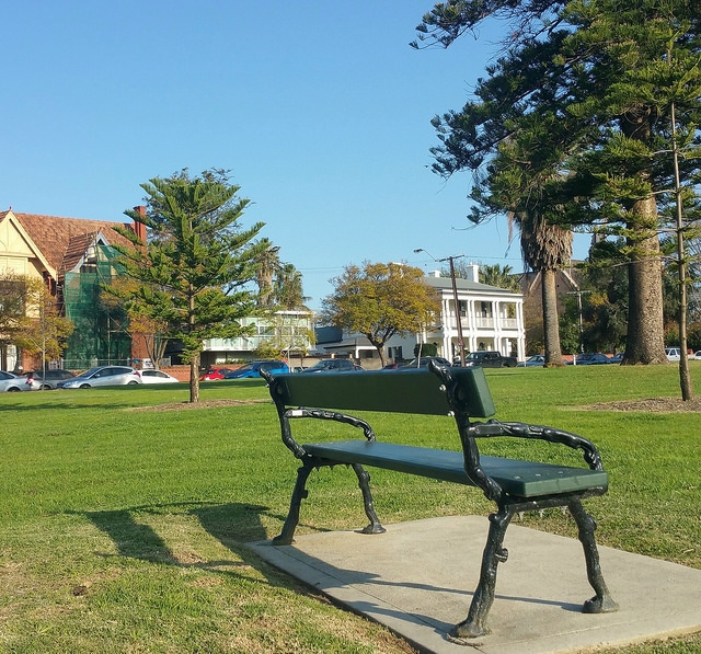
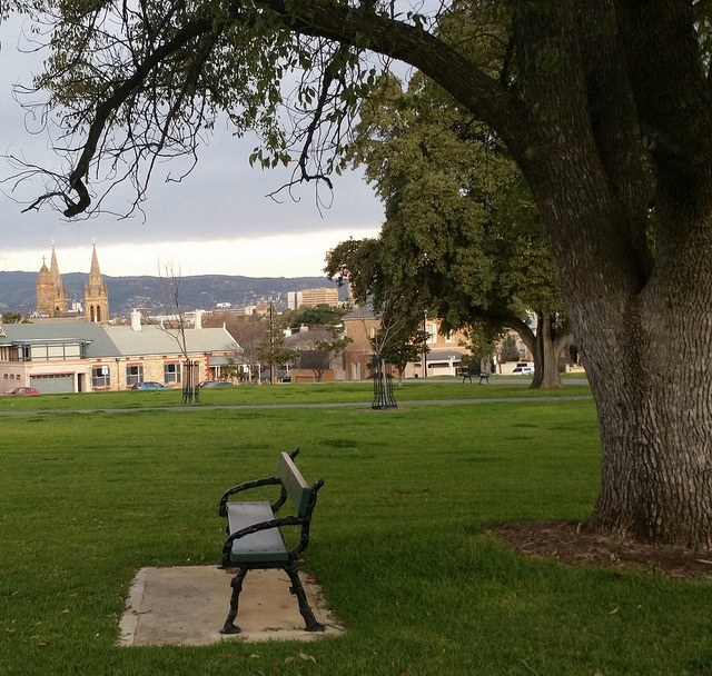
There's a brass plaque on a Victorian-era park bench celebrates a breakthrough by a German-born Adelaide scientist, Albert Koebele, in 1888 with the first biological control of insects that started with a discovery in this Park
Related links:


