

Take the Trail
Start at the corner of Goodwood Road and Greenhill Road (stop #1 on the map below).
This Trail is on the traditional land of the Kaurna people. First Nations people are advised that this Trail Guide contains the name and an image of a person who has died.

1. Park 22: naming
2. Re-vegetation
3. Car parking
4. Park Lands Trail
5. Park 23 South: naming
6. Dirt Trails
7. “Safer Place to Gather”
8. Creek/drainage channel
9. Bitumen area
10. Netball
11. Tennis
12. Pine trees
Optional: download and print a tri-fold leaflet, i.e. a double-sided single A4 page, with a brief summary of this Trail Guide: (PDF, 3.1 Mb)

1. Park 22: naming
This Trail Guide covers the two Parks either side of Anzac Highway. It starts at the south-eastern corner of Park 22, on the corner of Goodwood Road and Greenhill Road. The Trail indirectly completes two loops, one loop on each side of Anzac Highway.
Park 22 is a triangular-shaped Park, bounded by Greenhill Road, Anzac Highway, and Goodwood Road.
It is a relatively small Park, comprising just 15 hectares, or little more than two percent of the total area of your Park Lands.
Like other parts of your Adelaide Park Lands, this Park has three names: an English name, a Kaurna name, and a number.
Park 22 was named in the Kaurna language first, in 2002. That name, Wikaparntu Wirra means netball park. In case you are wondering how the Kaurna language has a word for netball, the answer is that Kaurna is a living language. Like all other living languages, words are being added to the Kaurna language all the time.
Later, in 2017, this Park was named in honour of Josie Agius, one of South Australia's first Aboriginal health workers who supported girls' sport.

“Auntie” Josie Agius. (1934–2016)
A lifelong champion of reconciliation, Aunty Josie was recognised with numerous awards including:
NAIDOC Aboriginal of the Year (1990),
the SA Women’s Honour Roll (2009) and
the Premier’s NAIDOC Award in 2014 "for improving the lives and welfare of Aboriginal peoples in South Australia".
In 2017, the year after her death, the City of Adelaide acknowledged Aunty Josie by naming this Park after her.
From here, walk westwards on the grass, through the trees, keeping parallel with Greenhill Road on your left. Stop when you get to a bitumen driveway entrance to the Park. At this point, stop under one of the tall trees and look around you.

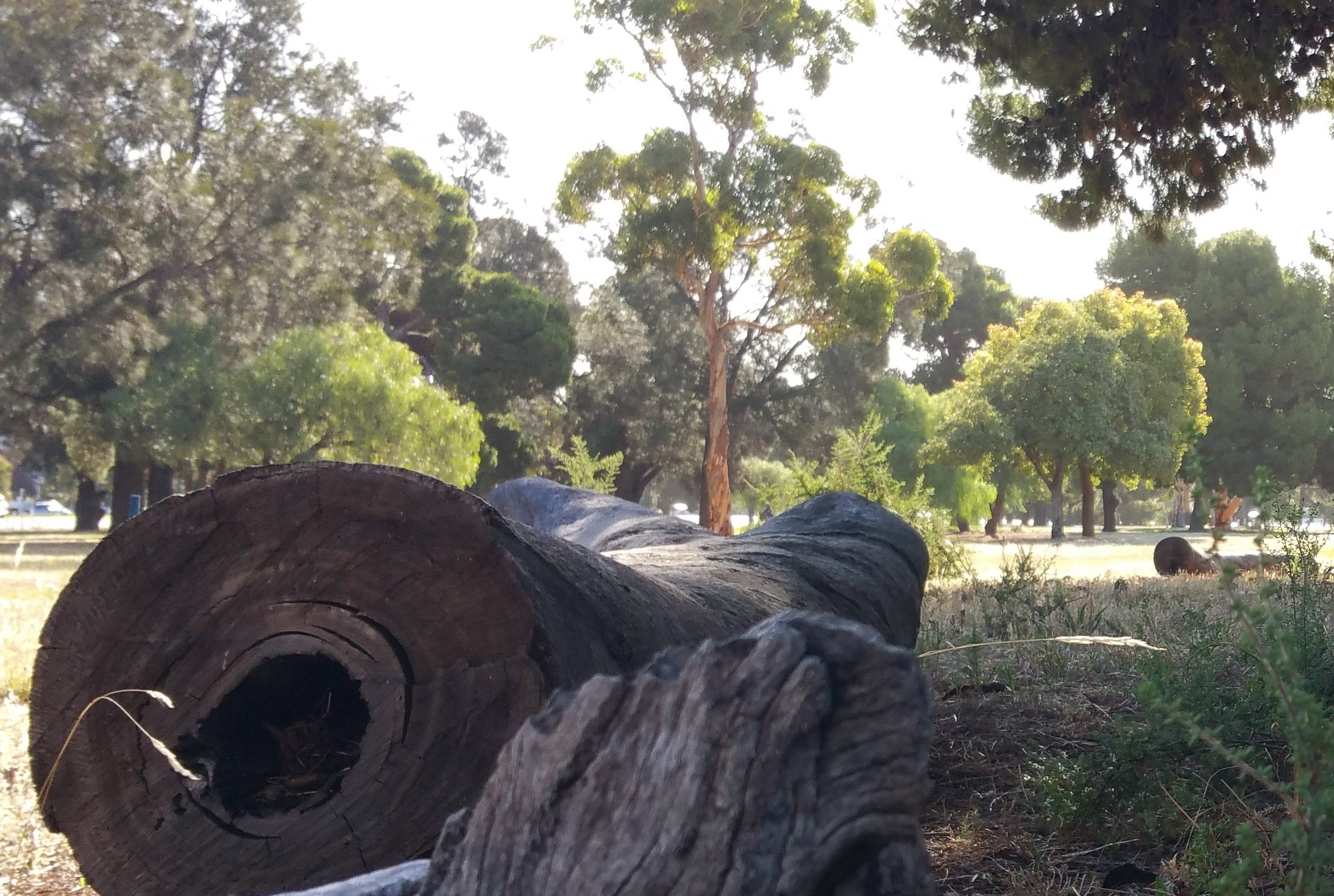
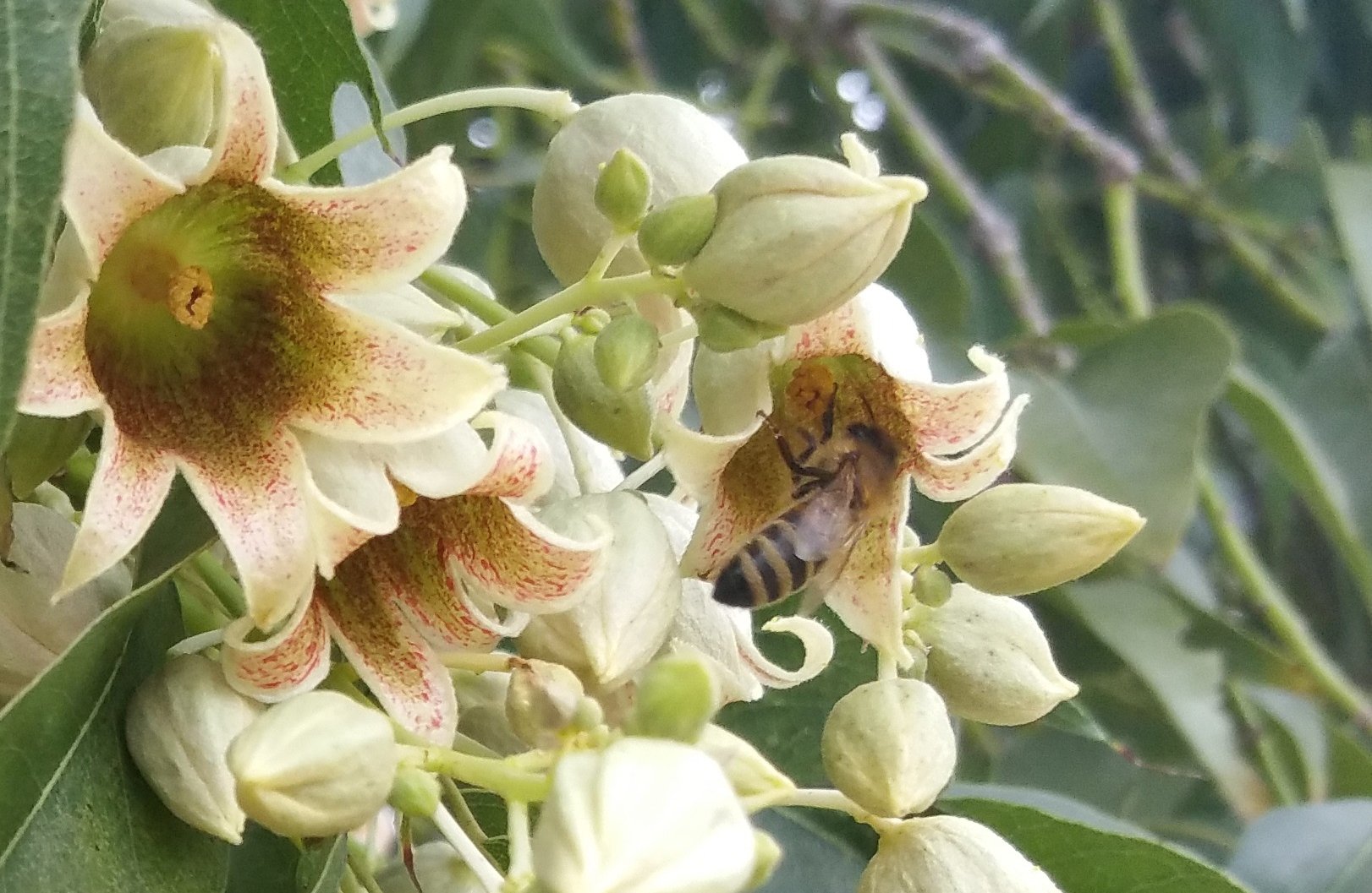
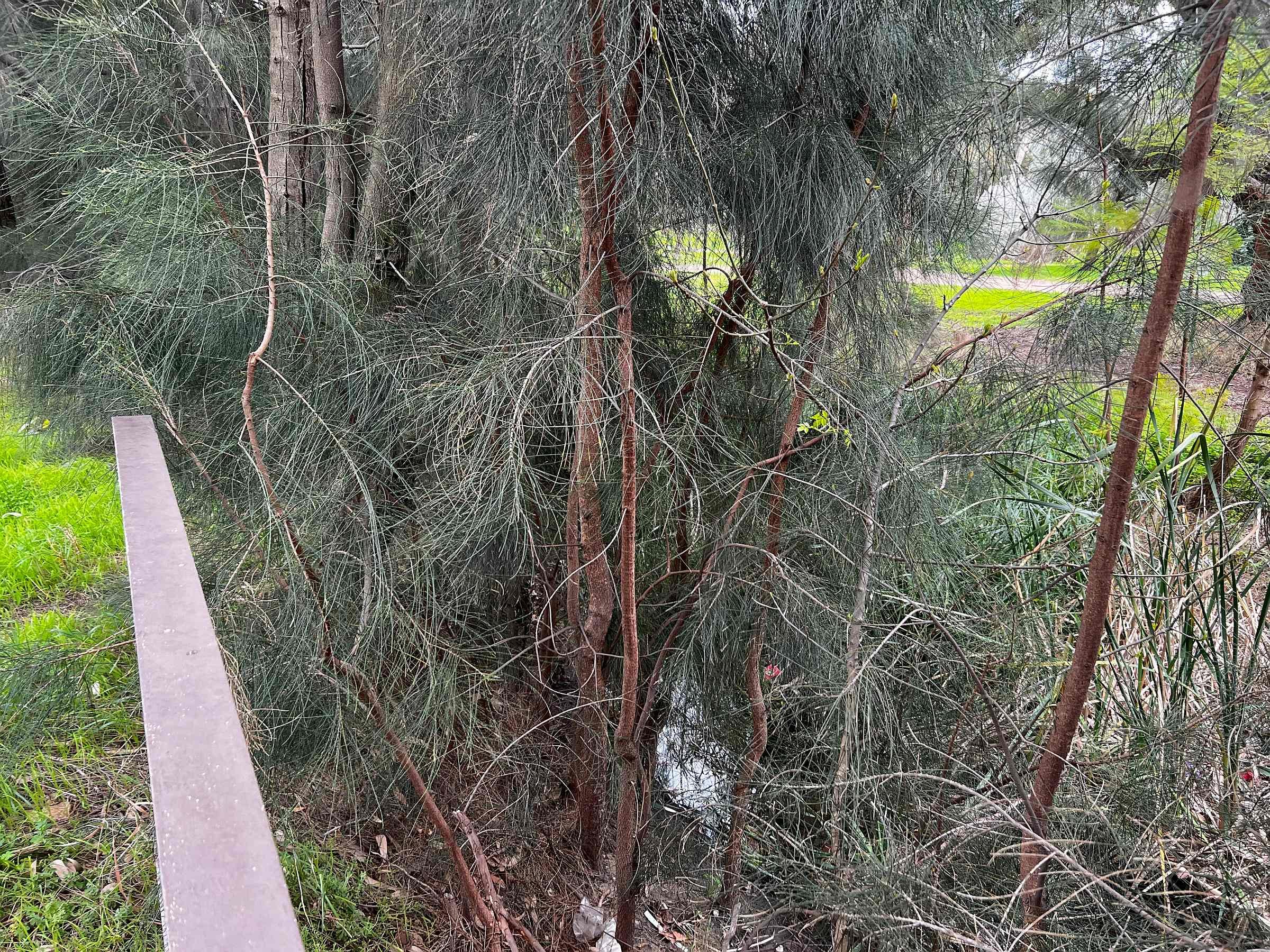
2. Re-vegetation
Image: Aleppo pine
Like most parts of your Adelaide Park Lands, this Park was stripped of all native vegetation after the arrival of European settlers.
From the 1850s to the late 1870s this Park used for cattle grazing, fire wood collection, and agistment. After most of the native vegetation had been removed, it was fenced in the late 1860s.
Plans for re-vegetation of the Park Lands were drawn up as long ago as 1880, but for decades this Park was treated as a low priority.
Throughout the first two decades of the 20th century, the annual reports of the City’s head gardener, August Pelzer contain no mention of tree planting in Park 22, with only an occasional reference to stunted tree removal or weed eradication.
At that time, Park 22 still appears to have used and viewed solely as a cattle and sheep agistment paddock.
It is only since the 1980s that the southern part of Park 22 has been turned into what’s described as an “open woodland”. Nevertheless is unlike the open woodlands that would have existed on the Adelaide plain before European settlement, because many of the trees that have been planted here are not native to this area. Some of them are not native to Australia.
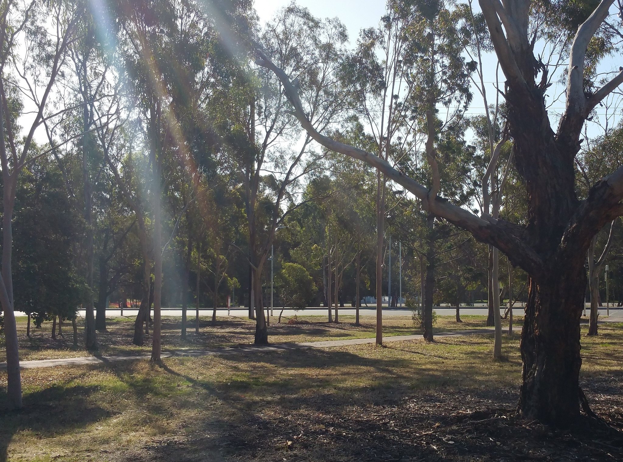
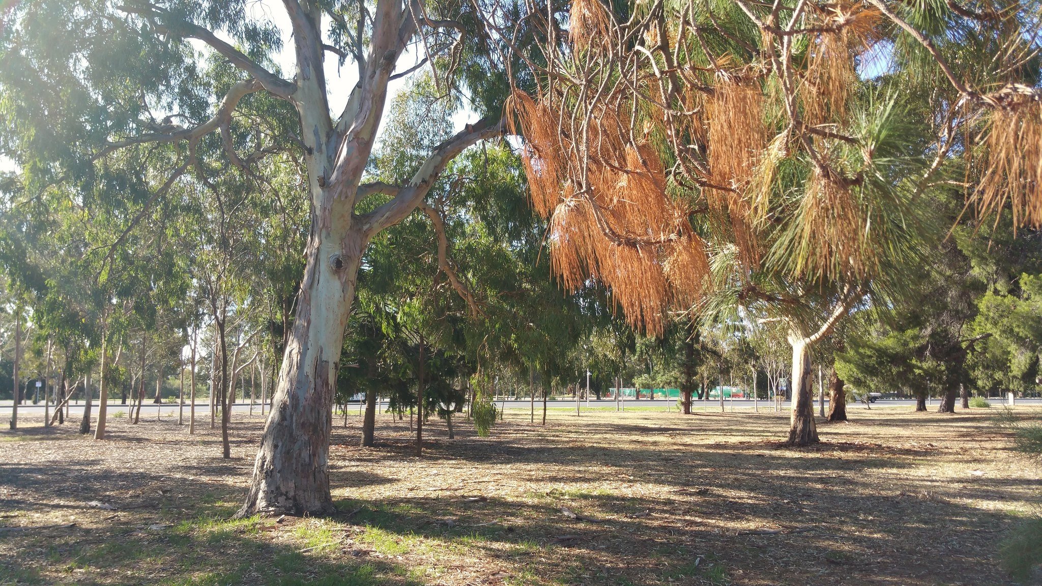
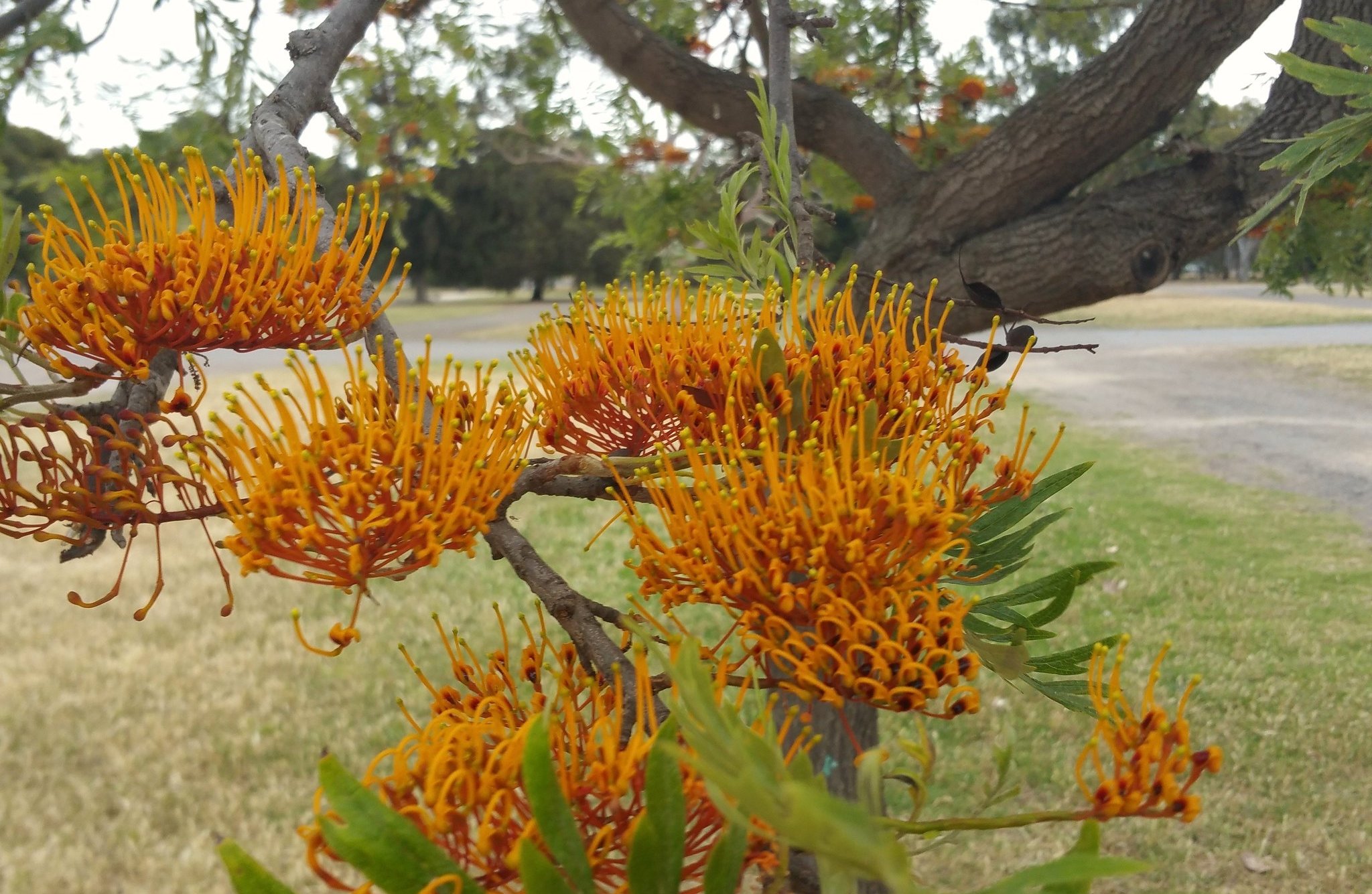
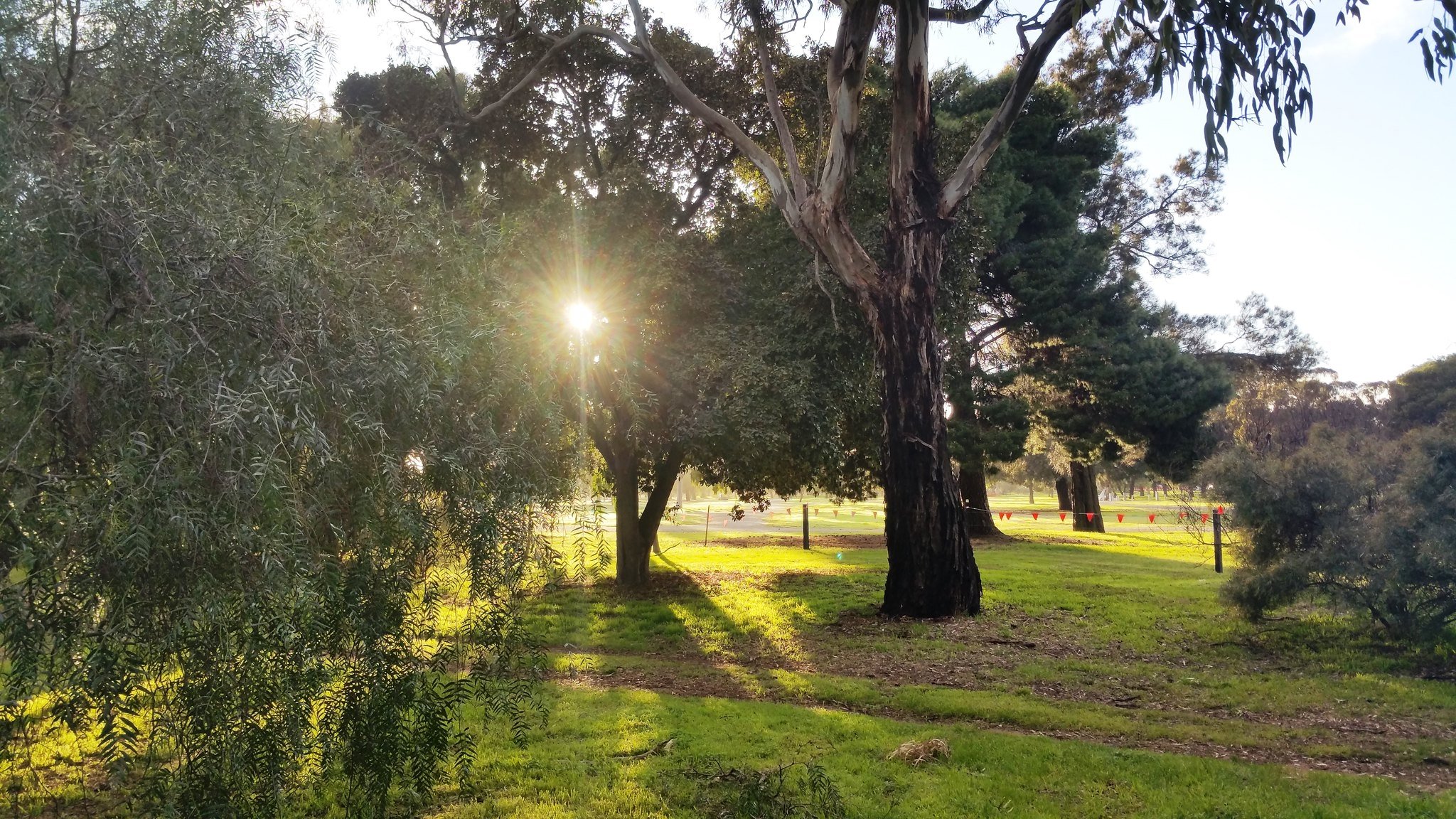
The area does include local species such as River Red Gums, but others here include the Norfolk Island Hibiscus, Canary Island Pine, Weeping Myall tree, Sheoaks (Casuarinas), and Pepper Trees, with a light scatter of the Smoothbarked Apple Myrtles, Silky Oak, and Kurrajong trees.
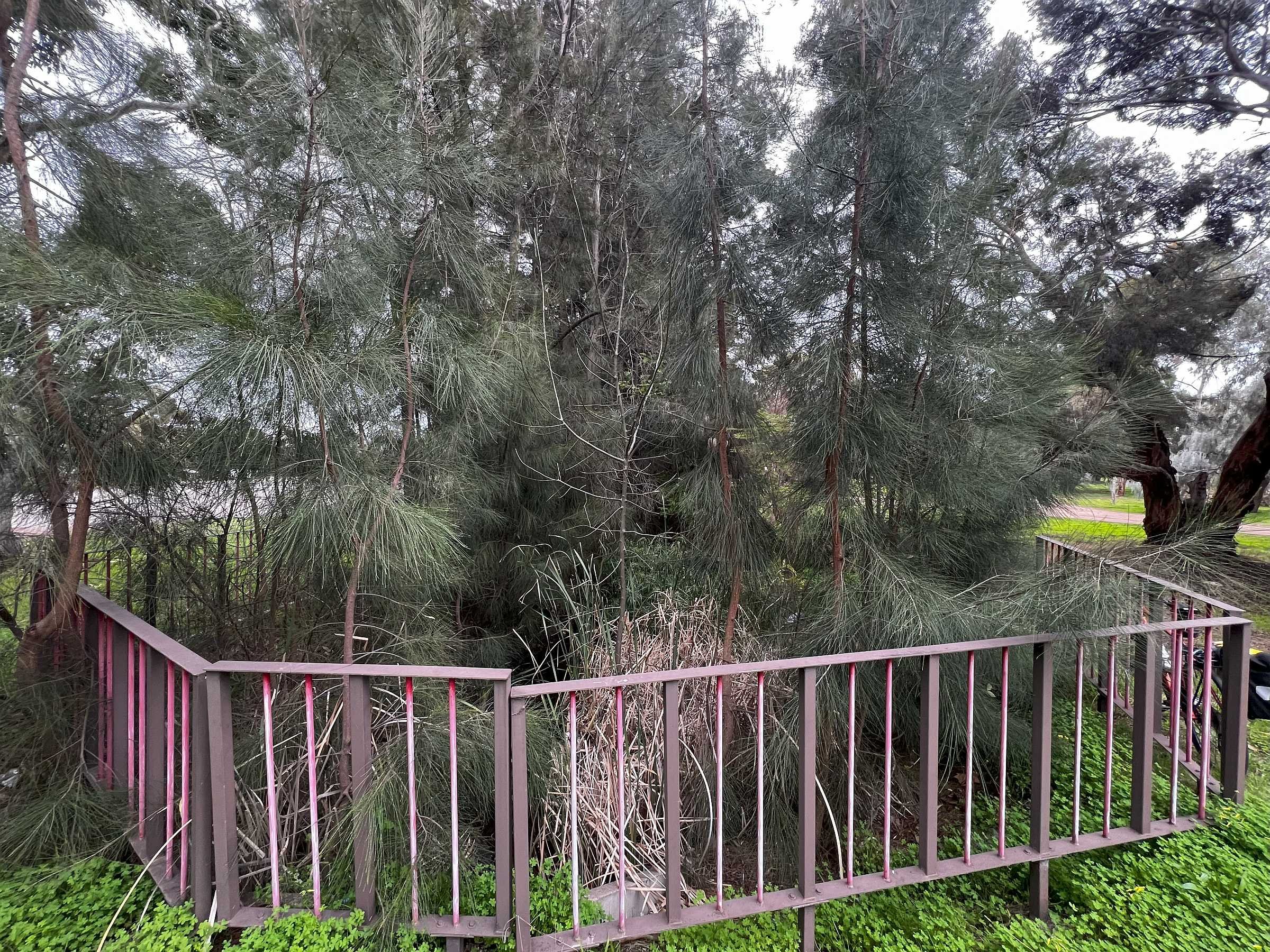
Unlike other parts of your Park Lands, there are no diagonal pathways through the middle of the Park.
Rather, the trees have been planted around the edge or perimeter of the Park.
This is consistent with a plan that was drawn up as long ago as 1880, by Adelaide’s one-time forestry expert, John Ednie Brown.

John Ednie Brown, the one-time “Conservator of Forests” in South Australia drew up this plan, in 1880, to plant trees all around the perimeter of Park 22. (and the adjacent Park 21) However it took until the 1920s and 1930s for this plan to be put into action.
From this point, walk further westwards towards Anzac Highway, until you reach a dirt pathway. Turn right, and keep walking along this path until you come to a stone maintenance building.

3. Car parking
Apart from netball, one of the main uses of this park, for decades has been as a car park.
Car parking was first permitted on grass, in 1926. In the 1940's an area was cleared of vegetation and gravel laid down.
In the 1950's the car park was sealed with bitumen. That surface remains, though car parking has been permitted in recent years on grass as well, but only during netball games, and for the ten-day duration of the annual Royal Adelaide Show.


Near the car parking area, this City of Adelaide maintenance shed is one of many buildings within your Park Lands constructed during the 1960s using Carey Gully sandstone.

In 2019 plans were drawn up to turn this car park into an area for hockey. https://www.facebook.com/Park22NetballandHockeyPrecinct/


The plans incorporated two new hockey pitches and a new two-storey building between them with facilities for the Burnside and Adelaide hockey clubs.
However the project has stalled since 2019 due to a lack of funding to implement the plans.
From here, walk behind the stone shed and stop on the red-tinged bitumen pathway

4. Park Lands Trail
The Adelaide Park Lands Trail is a shared cycling and walking track. To help you follow the Park Lands Trail as it winds its way throughout the Adelaide Park Lands its bitumen surface is sometimes coloured with a dull reddish tinge.
The Park Lands Trail is not a single route; because there are shorter and longer versions of the Trail depending on whether you want to circle only the CBD, or take a longer route further north around North Adelaide as well.
It’s a “shared use” path, which means walkers and cyclists and scooter riders are all sharing it. Everyone is supposed to keep to the left of the path. Cyclists are supposed to ring a bell to let you know they’re approaching, but that doesn’t always happen, so you need to be alert.
From this point, you can follow the Park Lands Trail eastwards, back towards Goodwood Road, or westwards, across Anzac Highway.
But before crossing Anzac Highway, take a look at the bitumen area in front of you.

This is the site of three former netball courts. The three, in a row, cover an area of 1,600 square metres. They have not been used for netball in decades. It’s one of several sites within the Adelaide Park Lands that the City Council has identified as suitable to be re-greened, as a "high priority" which means over the next "one to five years".

The numbers on this map are the sites within the Adelaide Park Lands that the City Council has identified as suitable to be re-greened, as a "high priority" … over the next "one to five years". On this Trail Guide you are about to move from site #11, across Anzac Highway, to site #10.
In the City Council’s budget for 2024-25 $1.7 million was earmarked for what was described as “Public Realm Greening Program”.
The Adelaide Park Lands Association has been thwarted in repeated attempts to get City Council approval for a re-greening project in your Park Lands.
But there is hope that this site could be the first of several where unused bitumen surfaces might be removed.
Another potential bitumen re-greening project is on the other side of Anzac Highway, where this Trail now takes you.
From this point, use the Park Lands Trail to go to Anzac Highway, and then cross over the road at the pedestrian traffic lights.

5. Park 23 South: naming
This Trail Guide does not include the whole of Park 23. Rather, it includes only the part of Park 23 that is to the south of West Terrace cemetery.

Left: the whole of G.S. Kingston Park / Wirraninthi (Park 23), which extends north to Sir Donald Bradman Drive.
Right: Park 23 South only, the portion that is south of the West Terrace cemetery.
This part of your Park Lands has four names. It’s known as the southern end of G.S. Kingston Park, or, in the Kaurna language “Wirrarninthi” which means to ‘become transformed into a green, forested area’.
More simply this area is known as Park 23 South. Further north, the rest of Park 23 features the West Terrace Cemetery and the northern section between the Cemetery and Sir Donald Bradman Drive. There is a separate Adelaide Park Lands Association Trail Guide for that area.
The English name of Park 23 was assigned in 2017. G.S. Kingston Park was named after Sir George Strickland Kingston. He served as the deputy surveyor to Colonel William Light during the city’s layout in 1837.
However to most people, this southern portion of Park 23 is better known as “Edwards Park”.
The name was assigned in 1971, and honours the late former City Councillor, Bert Edwards. His full name was Albert Augustine Edwards, but he was always known as “Bert.” He was born in 1888 in what was then regarded as a slum area in Adelaide’s West End, and attended school there.
Reputedly an illegitimate son of Charles Cameron Kingston, (who was Premier in the 1890s) Bert Edwards became one of Adelaide’s most flamboyant characters. He was gay at a time when that was not socially acceptable, but for most of his life, it did not affect his success in society.

Bert Edwards (1888-1963)
Bert Edwards was flash in his dress and loud in his manner. He became a City Councillor, a parliamentarian, and philanthropist, a friend of the poor and scourge of the establishment. He had connections and influence everywhere - in the markets, pubs, sporting clubs, churches and prisons.

Bert Edwards and an employee at his Tea Rooms, in Compton Street, taken in February 1912. Pic: State Library of SA.
It all came crashing down in 1931. He was convicted of "an unnatural offence" with a 16-year-old boy, and sentenced to five years' jail. His appeals failed but he was released in 1933.
Bert Edwards died 30 years later, in 1963, so did not live to see this area named after him. He’s buried nearby in West Terrace Cemetery. It was 12 years after his death when homosexuality was fully decriminalised in South Australia in 1975 – the first Australian state to do so.
In 2020, local historian Patricia Sumerling published a biography of Bert Edwards, called “The King of the West End”. https://www.wakefieldpress.com.au/product.php?productid=1545
Bert Edwards seemingly comes alive on one of the regular ‘ghost tours’ of the West Terrace Cemetery by night, called “Tragic Tales” https://www.tours.aca.sa.gov.au/night
From here, walk southwards, on the shared-use path, past a stone toilet block, until you reach a dirt pathway off to your right.

6. Dirt trails
.
In the late 1800s and early 1900s, this area south of the cemetery was fenced and used for cattle grazing.
Decades later, from the 1980s, the area was planted out with a variety of tree species, including many from Western Australia and New South Wales.
There are several rough dirt tracks through this area, near the railway line. This has attracted the attention of a particular cohort of cyclists, who enjoy what’s known as “cyclocross” (bicycle cross-country, or “CX”) racing.
In recent years, cyclocross events have been staged regularly in this area of your Park Lands. Racing started in 2012, when the national series was held here.
This event established a recognised CX course, and the course subsequently hosted the Australian national championships in 2016, 2017 and 2024 as well as the 2023 South Australian State championships.
From here, walk northwards on the dirt trail. Stop where you can see one or more tents pitched in the bushland.

7. “Safer Place to Gather”
In July 2023, the Adelaide City Council and State Government set up what they called a "Safer Place to Gather" (in Park 23 South) for people travelling to and staying in Adelaide from remote communities.
The State Government committed $490,000 to the initiative, with the hope that it would “help address some of the anti-social behaviour in the CBD”.
This location was chosen because of its proximity to City welfare services, water and toilets.

Bruce Leo pictured in May 2024 at the “Safer Place to Gather”. Pic: Adelaide Now
Social workers and other services work together to assist people camping in the area, attend medical services as well as reconnect with family.

A fire pit and sleeping bags pictured in May 2024 at the “Safer Place to Gather”. Pic: Adelaide Now
In May 2024, The Advertiser reported that the State Government was also making available a “Return to Country” service, assisting remote visitors to be transported back to their communities.
Minister for Human Services, Nat Cook told The Advertiser that the “Safer Place to Gather” was State Government’s “broader response” to supporting the “safety and wellbeing” of Indigenous people visiting from remote areas. “The response also includes assertive outreach, assistance to access appropriate healthcare and Return to Country,” she said.
“Specialist outreach services bridge that gap by taking government and non-government support out to where people are located.”
In 2024, the City of Adelaide extended a licence agreement with the State Government to keep this operation continuing until at least February 2025.
From here, keep walking through the “Safer Place to Gather” until you come to an open drainage channel or creek bed.

8. Creek / drainage channel
A drainage channel, or creek runs north-south along the western side of the vast bitumen area.
More than a century ago, this was a boggy area, and after heavy rains, water would flow southwards towards Keswick and flood nearby bowling greens. In 1919 the City Council dumped soil here to fill what was described at time as a “large depression”.
During the 1990s, many native plants were planted along the edge of the creek. This was part of what was referred to at the time as the “Our Patch” program. This was a community program in which young people learnt about watercourses such as this, and were supported in re-vegetating, cleaning and maintaining such locations.
River she-oaks, reeds and sedges were planted, using matting to stop erosion. Most of those plantings remain alongside the watercourse. At some parts along this drainage channel, water can spread out after rain, forming a seasonal waterhole.
From here, walk north, keeping the creek bed on your right, until you reach the fenced location where the drainage channel disappears into a pipe underground.

9. Bitumen area
As you have walked around this Park, you cannot help but have noticed a large expanse of bitumen.
Starting in 1938, this bitumen area was used for what was called, at the time, “women’s basketball”. But they could not play on Sundays.
For decades, (from 1939 until 1967) after pressure from religious groups, the City Council prohibited playing sport anywhere in the Park Lands on a Sunday.
Eventually, in 1967, a reforming State Government led by then-Premier Don Dunstan ended the Sunday sport ban.
In 1970 the name of “women’s basketball” was changed to “netball” and the South Australian Netball Association took charge of these courts. In 1982 the Association built a club-house alongside the courts, and spent the next few years trying to convince the City Council to allow it to also add a permanent administration or office building.
In the 1980s, the City Council, led by the then-Lord Mayor Jim Jarvis refused to allow a permanent building, so temporary facilities persisted here until 1998. At that time, Netball SA then relocated to a new stadium at Mile End.
Since 1998, the Mile End stadium has hosted top-level netball, while community-level netball has been played across the road in Park 22, as you will see later on this Trail. The fate of these former courts has been in the too-hard basket, undecided since 1998. The City Council has identified this as a likely place for re-vegetation, but by 2024, no funding or action plan had been developed.

Netball being played in Edwards Park, in the 1950s. Pic: City of Adelaide archives
More recently, the area was used by SA Ambulance and individuals to practice driving skills.
During COVID, when the Royal Adelaide Show was cancelled, the area hosted a one-off “Adelaide Family Carnival” in 2021.
From July 2022, the area was re-assigned as a COVID drive-through testing site, for the following 12 months.

The COVID-19 drive-through testing site off Anzac Highway, in Edwards Park during the 2022-23 year.
From here, walk through or across the bitumen area, back to Anzac Highway, and cross the road again at the pedestrian traffic lights, to return to Park 22 on the other side of the road. Walk up to the orange-surfaced netball courts.

10. Netball
Netball has been played in the Adelaide Park Lands since 1938 – on both sides of Anzac Highway.
Netball is the most popular women’s sport in South Australia (and the nation) and these courts are the most popular sporting facilities in the City of Adelaide with an estimated 200,000 players each year.
In 2017, the City Council (with State Government co-funding) redeveloped these netball courts. They got improved lighting, new orange surfacing, and connecting pathways. The number of courts increased from 20 to 24.


The car parking area, south of the netball courts, is well used on game days.

The courts and the car parking area in use during weekend netball competition in Park 22
Year-round games (a summer and a winter season) are arranged on these courts by the SA United Church Netball Association.
Each year the Association holds a Junior Carnival for teams in age grades 17 & under and below. Over 200 teams register for this event.

The netball courts at night
From here, walk north alongside the netball courts, to the open woodland area near the northern tip of this triangular Park, where Anzac Highway meets Goodwood Road and South Terrace.

11. Tennis
At the northern tip of Park 22, you are near the site of an historical set of tennis courts.
One of Adelaide’s best-known sporting facilities is the vast expanse of tennis courts, off War Memorial Drive in Tarntanya Wama (Park 26); the home of Tennis SA, with a stadium which is the venue for the annual Adelaide Open tennis tournament each January.
But those courts were not the first choice for tennis facilities in your Adelaide Park Lands.
During the First World War, in the early 20th century, the South Australian Lawn Tennis Association held a lease over a large 2.4 hectare site in Park 22. However at that time, no courts had been built. In 1919, after the end of the war, the City Council held a ratepayer poll, asking whether the Tennis Association should be allowed to transfer their operations to Park 26 instead, where War Memorial Drive was about to be constructed.

Men’s doubles tennis in Adelaide, 1920. Pic: State Library of SA.
Two-thirds of ratepayers approved of the idea, which is why Tennis SA is located where it is.
However, that was not the end of the road for tennis in this Park. Later, in 1925, the City Council provided two tennis courts for the public, along the edge of Goodwood Road along with a “catching-yard for horses”. In the 1930s, four more tennis courts were added.

A 1936 aerial photo of Park 22 showing several former tennis courts alongside Goodwood Road. Note the courts right at the northern tip of the Park. Pic: City of Adelaide archives.
From here, walk southward through the open woodland alongside the netball courts, and adjacent to Goodwood Road. Stop underneath one of the many tall pine trees.

12. Pines
Many of the trees on the eastern side of this Park, near to Goodwood Road, are pines; either Aleppo Pines, or Canary Island pines.
Both types are favoured by corellas. At some times of the year, huge flocks of corellas can be seen feasting in these pine trees.

Flocks of corellas in the Aleppo pine trees in Park 22.
The regular presence of corellas was one of the reasons that the netball courts were re-surfaced in an orange colour instead of the previous green. Prior to 2018, corellas would damage the surface of the netball courts by chewing up the previous green surface.
Alongside Goodwood Road you can also see this small brick building used by the Church Netball Association and players on game days.

Next to the netball courts, there is a building containing a small kiosk, netball administration rooms, and a toilet block.
From here, keeping walking south, adjacent to Goodwood Road until you return to your starting point at the corner of Greenhill Road.
Optional: download and print a tri-fold leaflet, i.e. a double-sided single A4 page, with a brief summary of this Trail Guide: (PDF, 3.1 Mb)
All of our Trail Guides and Guided Walks are on the traditional lands of the Kaurna people. The Adelaide Park Lands Association acknowledges and pays respect to the past, present and future traditional custodians and elders of these lands.

